

Adding Meaning and Context to the Data and Providing Easy Access
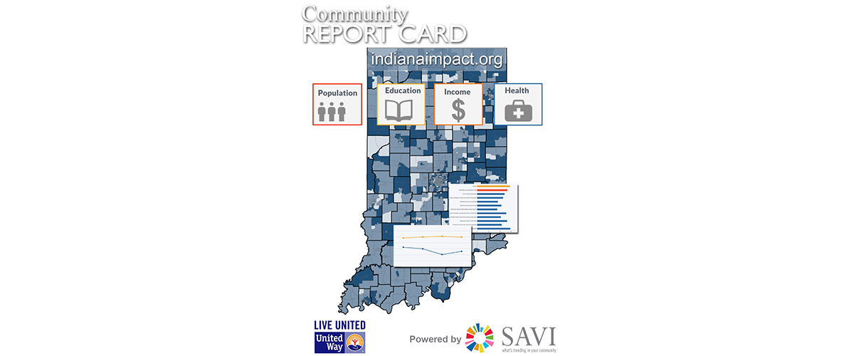
In response to the challenge experienced by Indiana United Ways in gathering important data to inform their priorities, the Indiana Association of United Ways identified the need for a simple online report card that allowed its 62 member United Ways and nonprofits to access a quick snapshot of how their community is doing on 35 metrics in the areas of health, income, and education.
The SAVI team at Polis created IndianaImpact.org (launched in April 2014) to provide quick access (within one-two clicks) to a community dashboard for each county and United Way service area in Indiana. The dashboard visualizes 35 community metrics using easy-to-interpret graphics revealing community needs and successes. Its drill-down capability allows users to access time trends of to see how the community and state have changed over the past few years and to access charts and maps comparing sub-areas (school corporations or census tracts) within each community to identify geographic disparities.
The selection maps on the home page are delivered using ArcGIS Server for both county and United Way service areas. The maps in the dashboard drill down tabs that allow users to explore geographic disparities are delivered using SAVI’s cached tile system and Google JavaScript map APIs. An emerging use of GIS, the SAVI team used ArcGIS to process and analyze data into community metrics, integrate data from multiple sources, and format it to allow simple visualizations targeted for non-GIS users of IndianaImpact.org.
Within two clicks on Indianaimpact.org, United Ways and nonprofits are able to access data they need to make better decisions about funding allocation and service delivery. Now they can spend those resources developing strategies to address the communities’ needs revealed in the data. Indianaimpact.org has increased efficiency and improved access to critical information for informing decisions, which ultimately will improve the quality of life in communities around Indiana.
